St. Malo Tour Guide
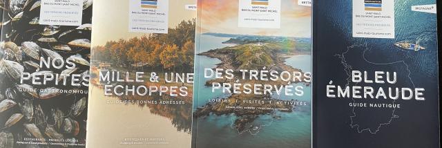
A new bilingual (French and English) tour guide has just been published!
In pocket format, the guide presents in focus form with maps, photos and descriptions, the Malouin sites and monuments to visit. One side is dedicated to the old city Intra-Muros, the other side details the entire city and its historic districts: Saint-Servan, Paramé and Rothéneuf.On sale 0.50 €.
Hike and bike ride sheets
In order to renew the ever-increasing offer and propose a wider range of walks, the offer of hikes has been expanded and updated. As the itineraries are regularly modified, the Engineering Department contributes to the verification of the itineraries and the Communication Department to the update and edition of each of the sheets. All these sheets are offered for download on our website (link)
Rando Balades
Cancale : “Port Briac, La Pointe du Grouin and the Grand Tour de Cancale”. 3 circuits on 1 single sheet. With a distance of 10.7 to 20.2 km, the 3 routes allow you to discover the many facets of the town, both the remarkable sites on the coast but also the inland.Saint-Malo to Cancale by the coast :“Rothéneuf-Plage Du Guesclin-Pointe du Grouin”: 2 routes on the GR® 34, combined in 1 single sheet. This is one of the most popular coastal walks!”Saint-Malo : “La Cité corsaire – Dinard”: the Corbières park being open and practicable again, the route (14.4 km) has resumed its original route!”Saint-Jouan des Guérets : “Les Rivages et Les Guérets de Saint-Jouan”. The 2 easy level routes have been reviewed and modified. On the banks of the Rance, the first course (8.8 km) follows the coastal path; the 2nd course (6.4 km) allows you to discover lesser-known facets of the Jouannais heritage.Dol-de-Bretagne: “Nominoë: Discovering the city of Doloise”, the course (8 km) has been modified because the starting point has been moved.Mont-Dol: “Le Tertre”: the loop (4.5 km) takes steep paths to discover one of the most beautiful views of the bay and Mont Saint-Michel, then along the Guyoult.NB: All routes are made with the assistance of the French Federation of Hiking.
Vélo Promenades®
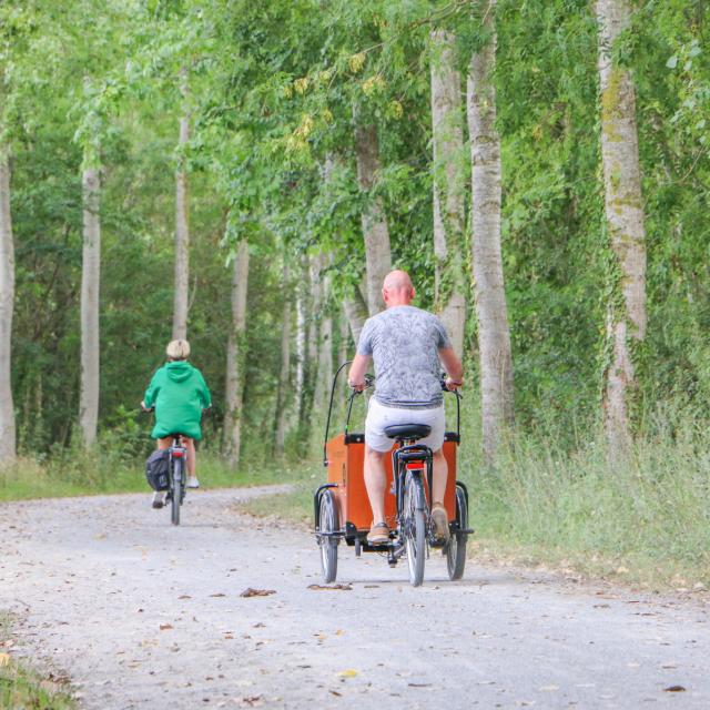
4 sheets have been published both on the commune of Cancale and the Community of Communes Bretagne romantique.
Circuit of Cancale: after the phase of signage of the route, this circuit was opened in the spring and already meets favorably the expectations of many visitors to Cancale. The circuit of Cancale is a loop of 16 km from3 circuits in romantic Brittany: 3 sheets have been reissued with some changes:Circuit of the Canal: From Saint-Domineuc, the loop of 25 km also offers a short variant.Circuit Chateaubriand: The 23 km circuit begins in Combourg and offers a beautiful walk through Lanrigan and Dingé.Circuit Granite: From Combourg, the 25 km loop allows you to discover this high country of granite through the Garden of Granite Lanhélin.


